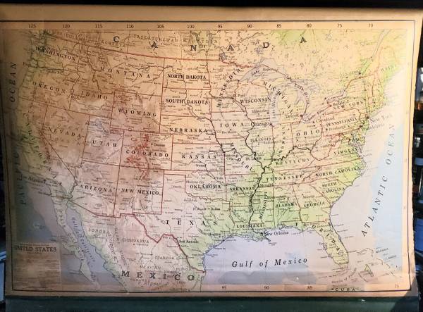
1941-1949 Rand McNally RD-101 Political and Physical United States roll down map. Includes metal hanging frame. Map area 64" wide X 42" tall. Rolls up/down nicely.
Map shows New Orleans population 500,000 or more. This level was reached in 1941. Map also shows Phoenix population less than 100,000. This level was exceeded in 1949. Map also shows "steamship" routes.
Map likely used through the fifties, replaced with Alaska and Hawaii inset map in the sixties. Purchased around 1970 by my late father. Hung on my bedroom wall from '73 to '85.